
Patuxent River to Broomes Island MD Marine Forecast
| Today...Sw Winds 5 To 10 Kt. Waves 1 Ft. |
| Tonight...Sw Winds 5 To 10 Kt. Waves 1 Ft. |
| Fri...Sw Winds 5 To 10 Kt. Waves 1 Ft. |
| Fri Night...Sw Winds 5 To 10 Kt. Waves 1 Ft. A Chance Of Showers And Tstms. |
| Sat...Sw Winds 5 To 10 Kt. Waves 1 Ft. A Chance Of Showers. |
| Sat Night...Sw Winds 5 To 10 Kt. Waves 1 Ft. A Chance Of Showers And Tstms. |
| Sun...Sw Winds Around 5 Kt. Waves 1 Ft. |
| Mon...Sw Winds Around 5 Kt. Waves 1 Ft. Winds And Waves Higher And Visibilities Lower In And Near Tstms. |
| Area Forecast Discussion National Weather Service Baltimore MD/Washington DC 950am EDT Thu August 6 2026 .WHAT HAS CHANGED... Made a few minor changes to the aviation section to speak to the low clouds this morning, particularly over IAD. Also altered the marine section slightly. Overall though, forecast remains on track over the next several days. .KEY MESSAGES... - 1) Hot, humid conditions persist into next week, along with daily chances for shower and thunderstorms. KEY MESSAGE 1...Hot, humid conditions persist into next week, along with daily chances for shower and thunderstorms. The Bermuda High remains in place across the western Atlantic into next week. PWATs (Precipitable Waters) will be near or greater than 2" in the valleys with 1-2" in the mountains. South to southwesterly flow is maintained over the Mid-Atlantic. Hot and humid conditions each afternoon, with highs reaching the upper 80s to low 90s, and heat indices in the low 100s each of the Blue Ridge. A surface trough is forecast to remain over the area through Friday. Aloft, pieces of shortwave energy continue passing overhead and help trigger scattered showers and thunderstorms each afternoon. Deep layer shear is forecast to increase through the weekend as the subtropical jet stream strengthens. Hotter conditions may cause relatively steeper low-level lapse rates and the wind field strengthens a bit (especially Friday). This is going to bring an increasing chance for strong to severe thunderstorms each day, with Friday and Saturday looking to have the highest chances. On Saturday, a more potent shortwave trough is forecast to move overhead that could aid in stronger, more organized severe convection. Damaging wind gusts will be the main threat. A quasi-zonal flow aloft will develop Sunday into into next week. Sunday could bring a short reprieve as dry conditions prevail. Seasonably hot, humid conditions along with daily chances for showers and thunderstorms return Monday through most of next week. Marine Small Craft Advisories could be needed for parts of the waters at times through Saturday, mainly in the late afternoon to evening. Most days will be marginal, and likely handled by MWSs, but just know it could get a bit breezy over the open waters each afternoon. Otherwise, winds remain around 10 knots. Daily showers and thunderstorms expected each afternoon into next early week. Special Marine Warnings would accompany any of the stronger thunderstorms capable of producing frequent lightning and wind gusts over 35 knots. Tides / Coastal Flooding Anomalies climb late this week in response to return southerly flow. Periods of coastal flooding are possible at times of high tide at sensitive locations. NOAA Baltimore MD/Washington DC Office: Watches - Warnings - Advisories DC...None. MD...None. VA...None. WV...None. Marine None. |
 Baltimore/Washington Radar
 Northeast Radar
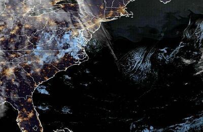 East Coast Satellite